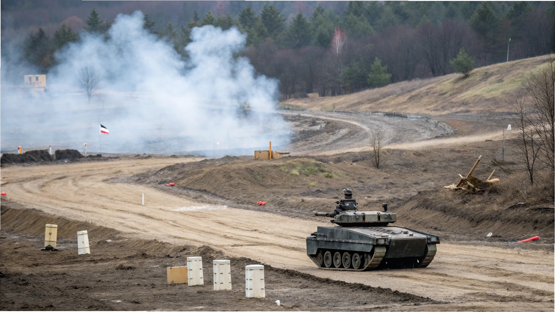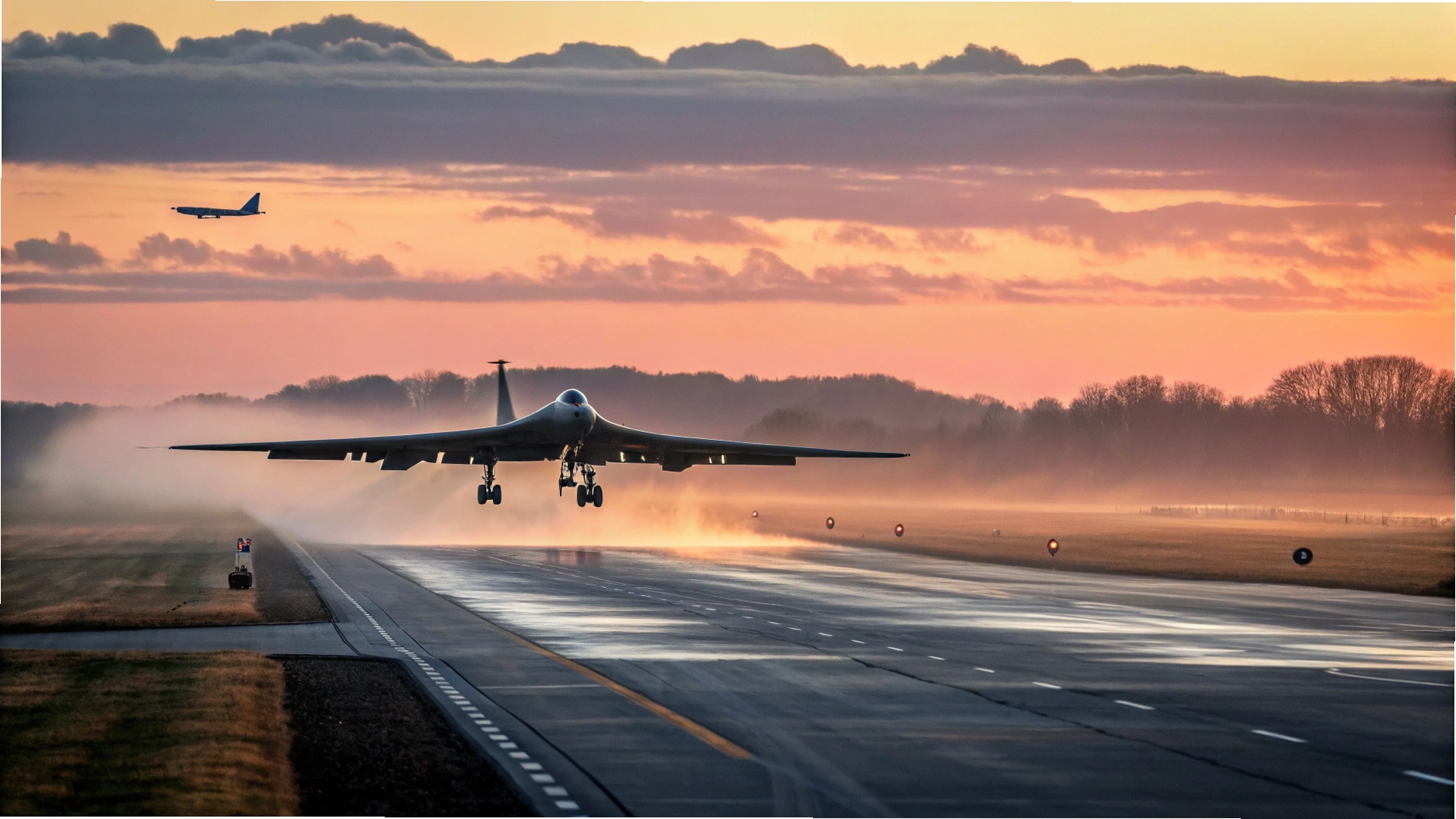
Maxar Intelligence has teamed up with Saab to deliver next-gen battle solutions by enhancing drones with space-derived tech.
This includes fusing Maxar’s satellite imagery and terrain data into Saab’s autonomous and combat systems.
Such capabilities aim to enable drone operations in electronic warfare zones without GPS reliance.
This work follows successful integration tests of Raptor, a visual navigation tool developed by Saab.
Raptor replaces satellite signals with live image processing from the drone’s onboard cameras.
These visuals are matched with Maxar’s detailed 3D global map—allowing for precise position tracking and mission accuracy.


